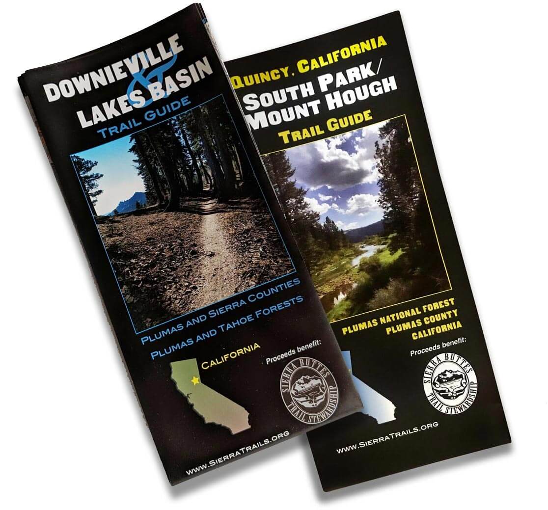
Buy the most current, waterproof map of this region. All proceeds support the trails.
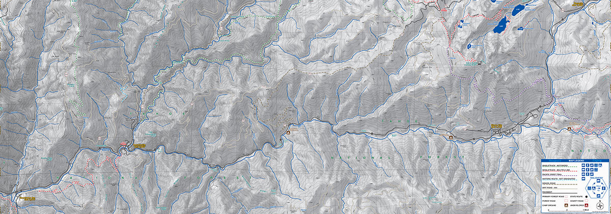
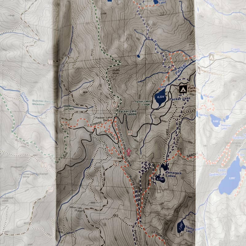
This map highlights the varied terrain and world-class trails of the Downieville and Lakes Basin trail systems. It includes up-to-date and informative recreational resource for the area and features more than 100 miles of sweet Sierra singletrack.
Designations for motorized trails, non-motorized trails, the Pacific Crest Trail, historic trail alignments, and Forest Service 4×4 dirt roads are all present on this waterproof and tear resistant map.
Proceeds from maps sales go directly back into maintaining the trails.
Buy In Person
- Yuba Expeditions / Downieville
- Howling Dogs Bike & Ski / Graeagle
- Gray Eagle Lodge / Lakes Basin
- Graeagle Market in Graeagle
- Mowhawk Valley Associates / Blairsden
- Eastern Plumas Chamber of Commerce / Blairsden
- Sierra Cycle / Quincy
- Quincy Natural Foods / Quincy
- Quincy Pharmacy / Quincy
- Forest Stationers / Quincy
- Alpenglow Sports / Tahoe City
- Tour of Nevada City
- Bassetts Sation / Sierra City
- Sierra Country Store / Sierra City
- Tahoe Mountain Sports / Truckee, CA